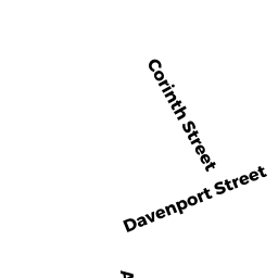
132+ 375 CORINTH+CHURCH ST
Owner Information
COMMONWEALTH OF MASS
CHURCH ST
NORTH ADAMS, MA 01247


Property Details
132+ 375 CORINTH+CHURCH ST is classified as a Dept. of Education (DOE) - UMass., State Colleges, Community Colleges (non-reimbursable) (Colonial).
The primary structure on this property was built in 1897. There are 344,248ft2 of built area within this property. There is 344,248ft2 of residential/living space within this property. This property is listed as having 8 rooms. There are 11 units within this property.
132+ 375 CORINTH+CHURCH ST is valued at $21,783,700. The land is valued at $2,075,200 and the structures are valued at $19,706,400. There is an additional valuation of $2,100 on this property.
Assessment data from fiscal year 2022.
Flood Data
According to the FEMA National Flood Hazard Layer, this property does not appear to be in a flood zone. It may also be in an area not yet reviewed. Nonetheless, confirm this information prior to taking any action.
To view the flood hazards around this property, create a FEMA "Firmette" Map of the area around 132+ 375 CORINTH+CHURCH ST.
Broadband Internet Providers
| Provider | Type | Bandwidth (mbps) | |
|---|---|---|---|
| Charter Communications Inc | Fiber | 0 | 0 |
| Viasat Inc | Satellite | 35 | 3 |
| Verizon New England Inc. | DSL | 15 | 1 |
| Charter Communications Inc | Cable | 940 | 35 |
| HughesNet | Satellite | 25 | 3 |
| T-Mobile | Fixed Wireless | 25 | 3 |
| GCI Communication Corp. | Satellite | 0 | 0 |
| VSAT Systems, LLC. | Satellite | 2 | 1 |
Broadband service provider data from December 2020.
Adjacent Properties
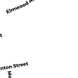
- 413 CHURCH ST
Single Family Residential owned by CHURCH ST NOMINEE REALTY TRUST - 154 CORINTH ST
Single Family Residential owned by SCHOLL MATTHEW & - 32 HIGHLAND AV
Single Family Residential owned by COWLIN PETER A & JOANNE - 35 HIGHLAND AV
Single Family Residential owned by THOMAS CHRISTOPHER - 142 CORINTH ST
Single Family Residential owned by PARKER NORMAN J - 0 -10 MONTANA ST
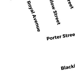
Dept. of Education (DOE) - UMass., State Colleges, Community Colleges owned by MCLA FOUNDATION INC - 80 PORTER ST
Two-Family Residential owned by GUETTLER ROBERT A & - 94 PORTER ST
Dept. of Education (DOE) - UMass., State Colleges, Community Colleges (non-reimbursable) owned by MASSACHUSETTS COLLEGE OF - 289 CHURCH ST
Dept. of Education (DOE) - UMass., State Colleges, Community Colleges (non-reimbursable) owned by COMMONWEALTH OF MASS - 71 BLACKINTON ST
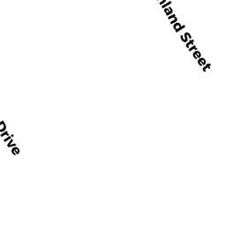
Dept. of Education (DOE) - UMass., State Colleges, Community Colleges (non-reimbursable) owned by MASS COLLEGE FOUNDATION - 318 -374 ASHLAND ST
Dept. of Education (DOE) - UMass., State Colleges, Community Colleges (non-reimbursable) owned by COMMONWEALTH OF MASS